
PORTLAND, Maine — “When will we see the sun again?” "When will it stop raining?” "Why is it so humid this year?”
There are a lot of ways to describe the summer we just experienced in Maine. Some would call it wet, humid, warm, and cold all at the same time. You would be right to use all those words when describing the three-month period between June to August in the Pine Tree State.
All-time records were broken for consecutive days of measurable precipitation along with the warmest monthly average temperature.
Let’s take a look back at just how many new standards were set this past summer. For record's sake, I am referencing "summer" as June 1 through August 31, typically defined as "meteorological summer."


Some would argue the month of June was by far the worst stretch of weather we’ve had in some time, and definitely for this summer.


It all started with a Labrador Canada backdoor cold front early in the month that cooled down our record-setting end-of-May warmth.


Let’s look at Augusta for the month of June specifically.
There were 22 days of measurable precipitation with an overcast sky twice the climatological average.
There were also 25 days of fog with only three days having temps drop below 60 degrees.


Now let’s look at Bangor’s summer.
There were only seven days of 80+ temps. Typically, Bangor records 16 days of 80+ temps. There was only one severe weather outbreak on the 13th where large hail was reported.
It ended up being the fifth wettest August, coming in at 6.22 inches.


Caribou shattered records.
It was the warmest July ever recorded, due to the warm overnight lows thanks to high dewpoints. There were zero 80-degree days in August. That’s only the second time since 1939.
It was also the sixth wettest August with 6.60 inches recorded.


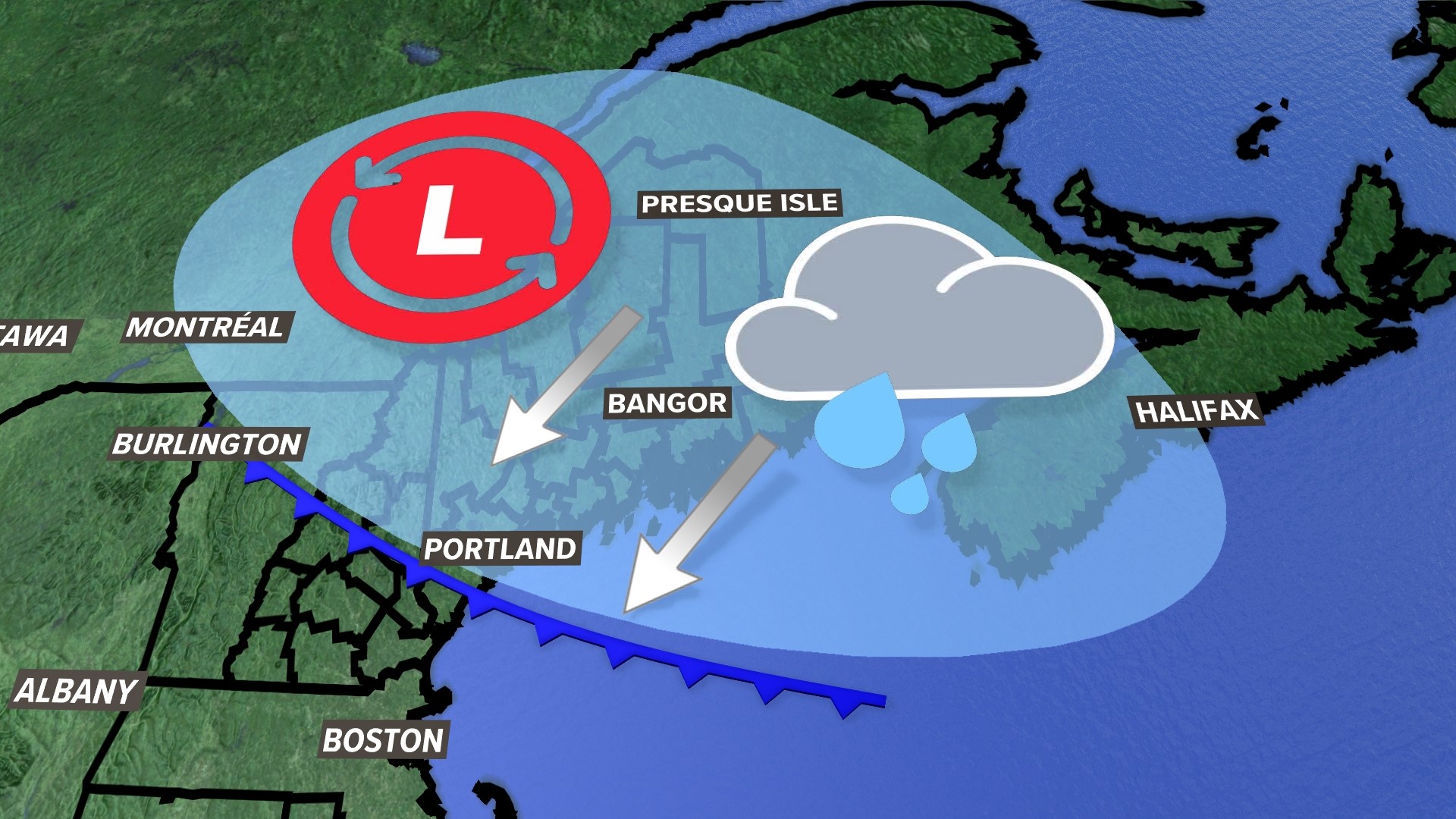
A weak jet stream over the summer fueled a lot of heavy rain. Dewpoints, the measure of moisture in the atmosphere, stayed high all summer long thanks to a lack of significant cold fronts to "reset" things. This led to the training of thunderstorms and more flash flood warnings than most people can ever remember in a Maine summer.


I get asked a lot, "Why was it so warm?"
The average max low temperature was 62.4 degrees. Typically we see that number in the 50s. The south and southwest wind with a lack of cold fronts to shift the wind out of the north kept us muggy and warm for overnight lows.


Northern and eastern Maine saw the longest stretch of sub-60-degree high temps between June 3-9.
A Co-Op observation from Piscataquis County recorded 9 inches in June. To give perspective, back in 2010, Bangor reported 8.10” of rain, their wettest all-time reading.
In summary, this was one of the weirdest and most staggering summers in Maine in recent memory. I’ll be doing a winter outlook coming soon, so feel free to follow me on social media to get the latest.

