

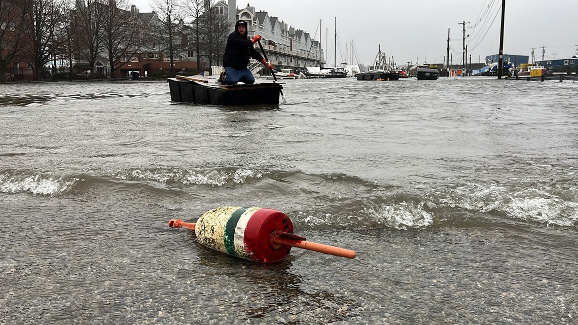
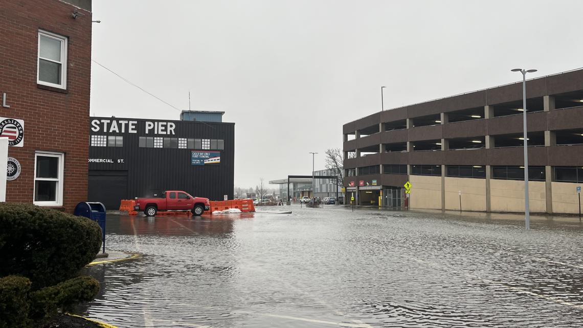
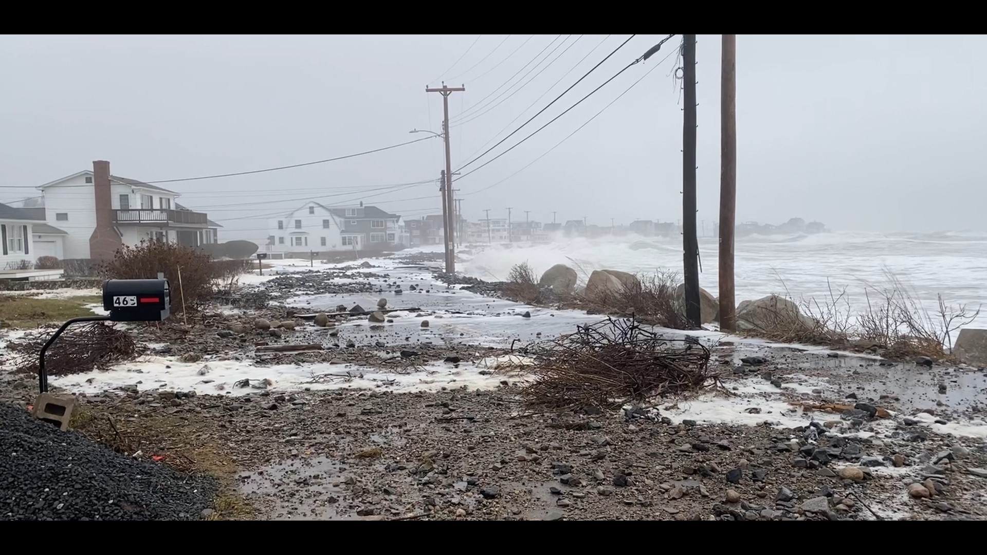
MAINE, USA — A second powerful storm arrived in Maine, just days after the last system left destruction in its wake. The Saturday storm broke several records for high water, flooding roads and buildings along the entire coast, the tide stealing newly detached debris and fragile dunes into the angry ocean waves.
The multi-hazard system that hit Wednesday left destruction and debris all along the coastline. Communities up and down the coast were forced to scramble to shore up what they could ahead of the Saturday storm.
Records broken
Record water levels were broken on Saturday in Portland Harbor, with more expected along the coast.
The tide level at Portland Harbor reached a high of 14.57 feet, blasting past the old record of 14.17 feet during the Blizzard of 1978. A tide gauge was installed in 1912.
Records likely fell in other coastal communities, as well. We will update this story as we learn more.
High tide took place around noon on the highest tide of the month. This extra foot to the high tide that we didn't have Wednesday plus a storm surge forecast to 3 to 3.5 feet. This means damage to beaches and waterfront property will likely be as bad or worse than Wednesday, which appeared evident by the afternoon.
Emergency conditions
The governor urged all Mainers to stay home if possible.
"If you must travel, please avoid the Maine coastline and be cautious," Mills said Saturday in a statement. "Never walk through flowing water, drive through flooded areas, or drive around road barriers."
For non-emergency assistance, including information such as where to find warming or charging centers, Mainers can call 211 or text their zip code to 898-211. For emergency assistance, call 911.
Dozens of roads along the coast were submerged in the floodwaters making them impassable, even stranding some neighborhoods.
Only a handful of power outages were reported across the state.
Gov. Janet Mills declared a State of Civil Emergency for coastal communities Thursday following the Wednesday storm.
Cumberland, Hancock, Knox, Lincoln, Sagadahoc, Waldo, Washington, and York were impacted significantly Tuesday night into Wednesday after a storm brought severe rain and wind that caused flooding and infrastructure damage to several coastal areas.
"The Governor’s declaration of a State of Civil Emergency mobilizes all State of Maine resources to assist and support response and recovery efforts, to prepare for the significant rain and wind event forecast for this coming Saturday, and to position the State to seek disaster support from the Federal government," a news release from the governor's office stated.
The release added that declaring this state of civil emergency will strengthen the state's ability to seek financial assistance through a Federal Disaster Declaration.
For more information about resources and assistance, you can access the online Maine Flood Resources and Assistance Hub that was launched by Mills last month in response to the December storm.
NEWS CENTER Maine has crews across the state taking a look at how the storm is impacting Mainers. Here's a roundup.
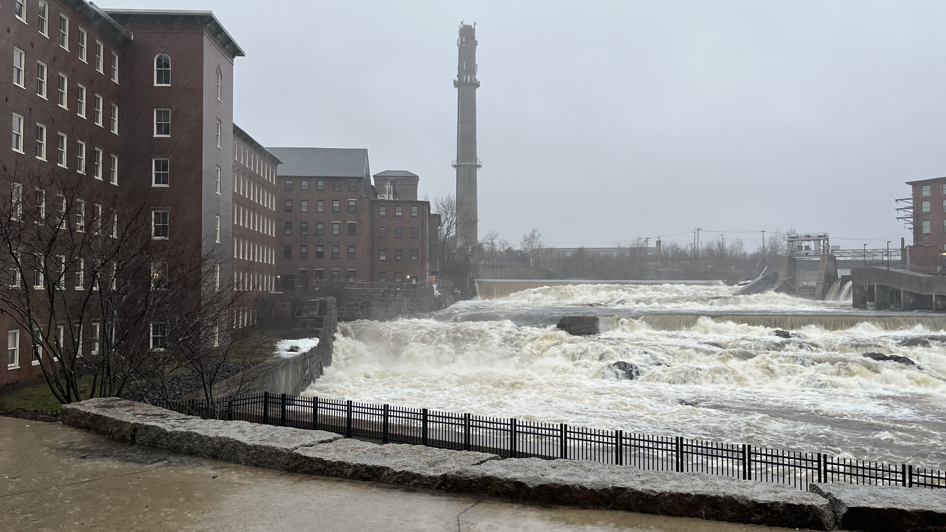
Saco River, Biddeford
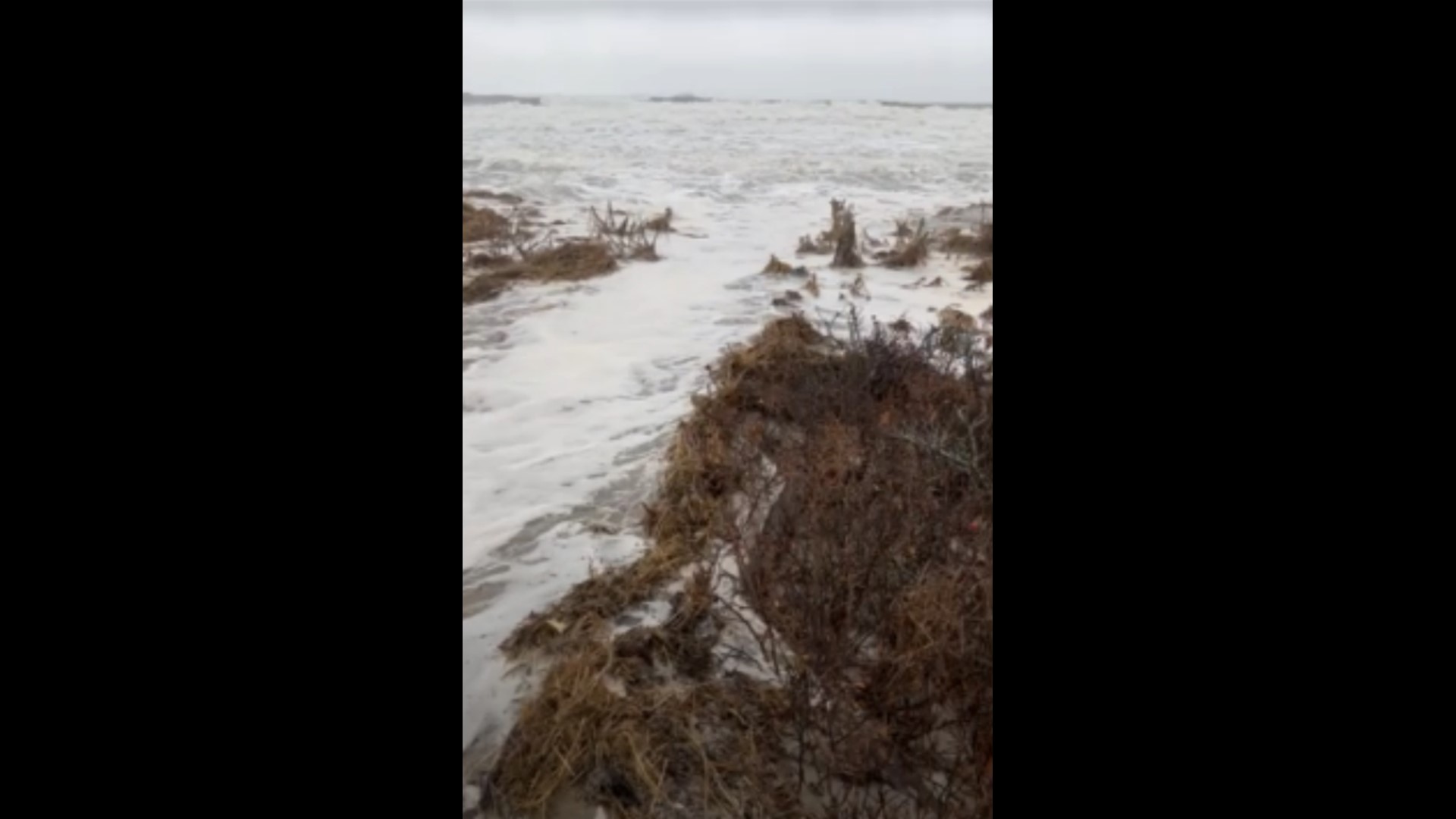
Pemaquid Point, Bristol

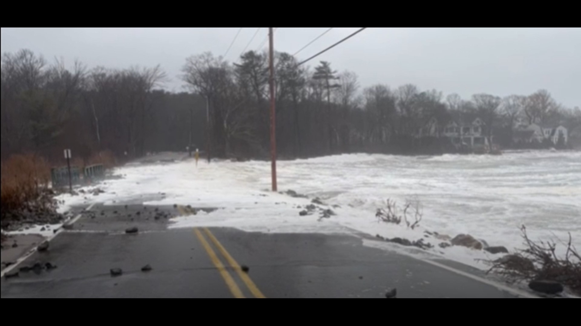
Shore Road at Pond Cove, Cape Elizabeth
Higgins Beach

Kennebunk
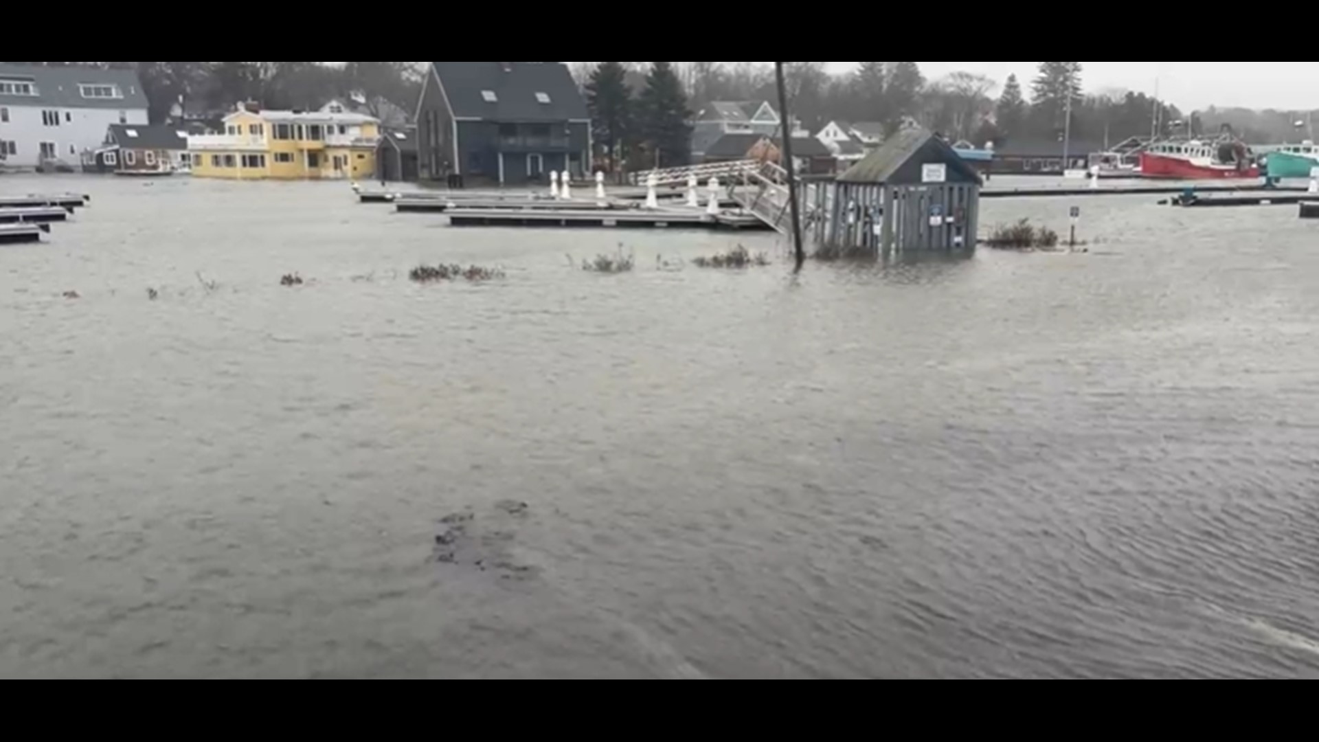
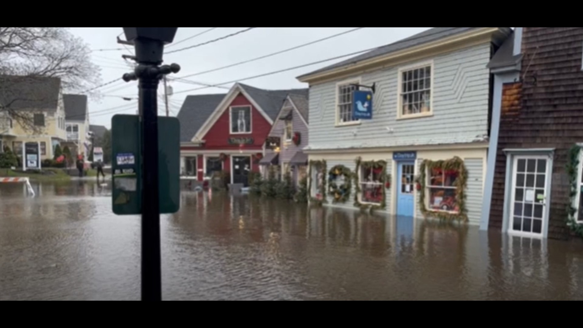
Dock Square, Kennebunkport
Norway

Old Orchard Beach
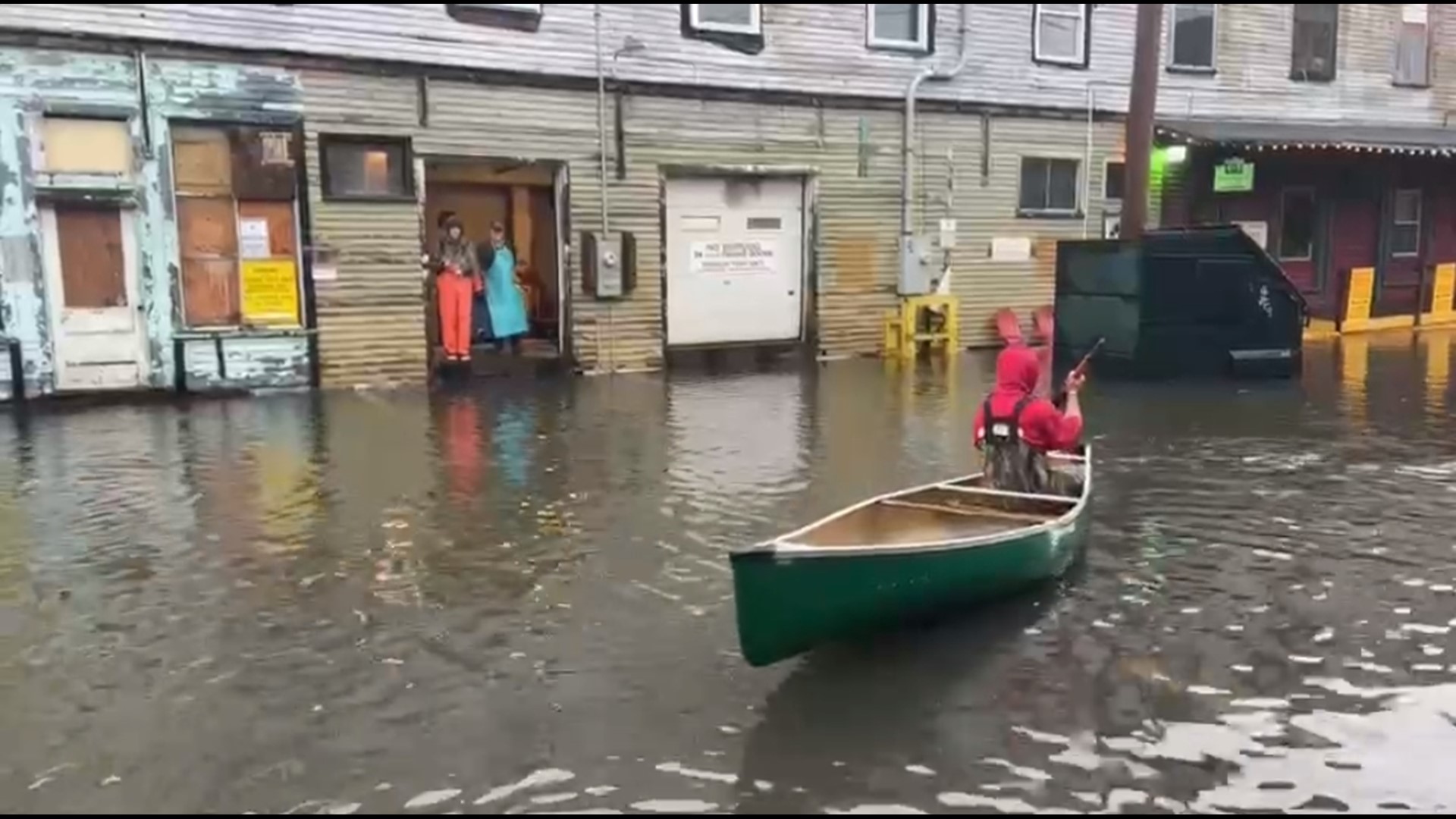
Fishermans Cove, Portland
Old Port, Portland


Highland Avenue, South Portland

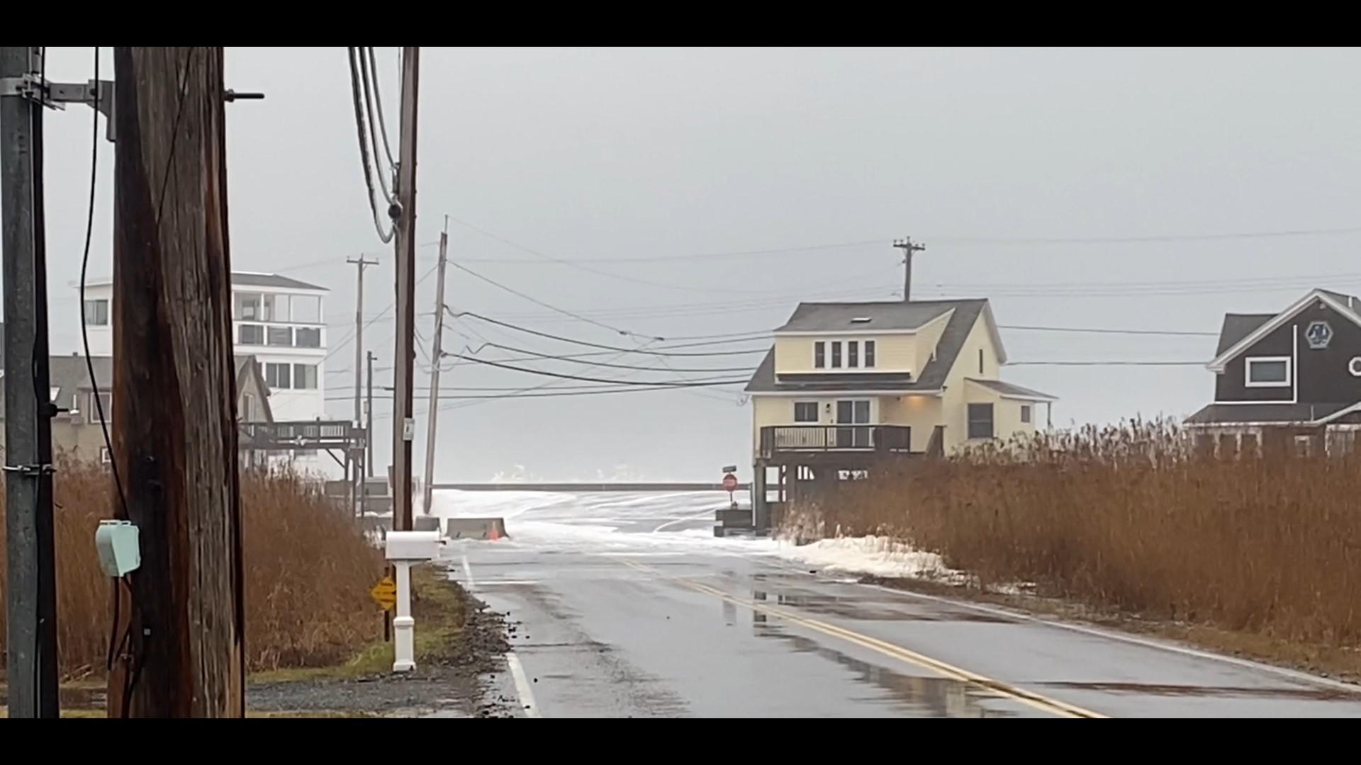
Webhannet Drive, Wells
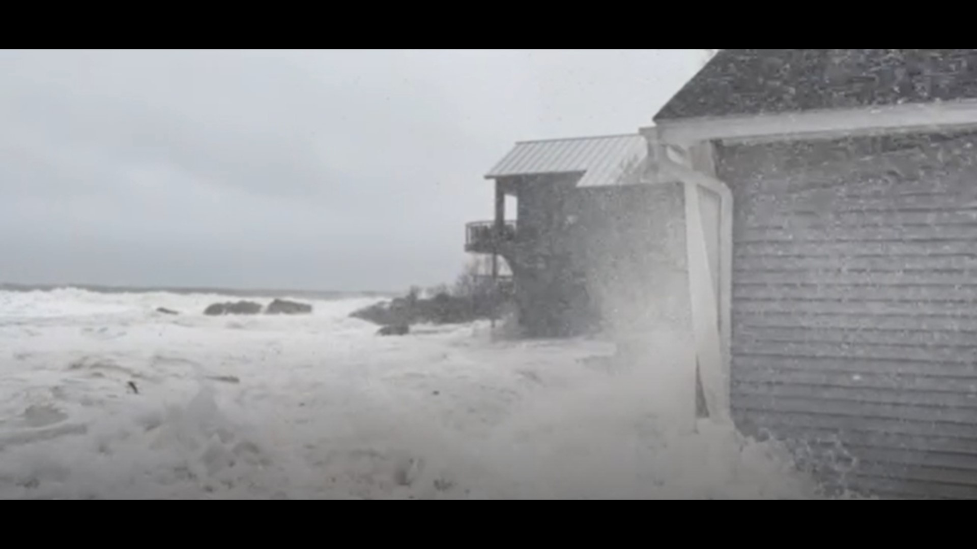
Winter Harbor


This story is developing and will be updated throughout the day.