PORTLAND, Maine — Last December’s "Grinch Storm" checked all the boxes to be a big one for Maine. It was the finale in a once-a-week rain or snowstorm track to hit Maine on a Sunday/Monday. So, we had a high-ground water table before the first raindrops fell on Dec. 17, 2023.


This was a more than 24-hour event statewide that mostly spared the coastline but battered the rest of Maine.


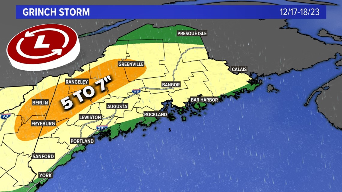
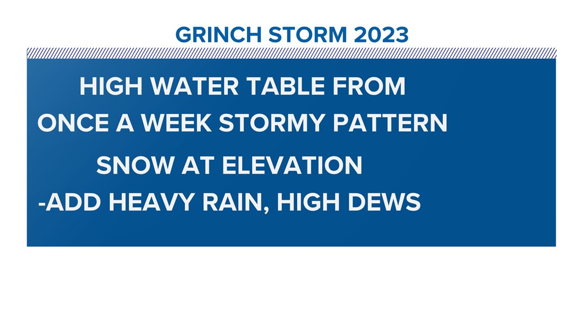
Any snow left on the ground in Maine was mostly at elevation, add heavy rain, and high dewpoints and you have a dangerous recipe to push rivers over banks thanks to rapid snowmelt and rain runoff. Don’t forget the ground was mostly frozen and that only sped up the runoff. The rainfall totals for the Oxford hills and western mountains were more than 5 inches with some areas getting 7 plus inches.

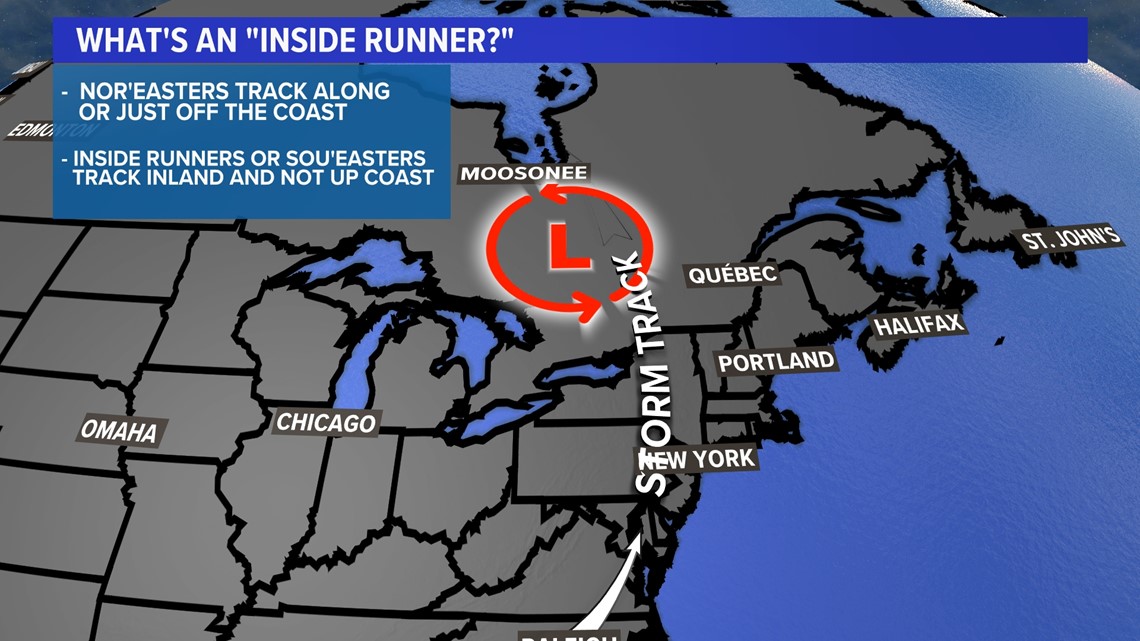
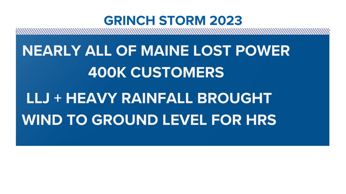
Much of the Pine Tree State lost power (more than 400K) and an inside runner storm track brought a stiff south wind to Maine.

Add a low-level jet stream, plus heavy rainfall rates, and the stable inversion near the ground was not enough to keep the hard winds aloft.

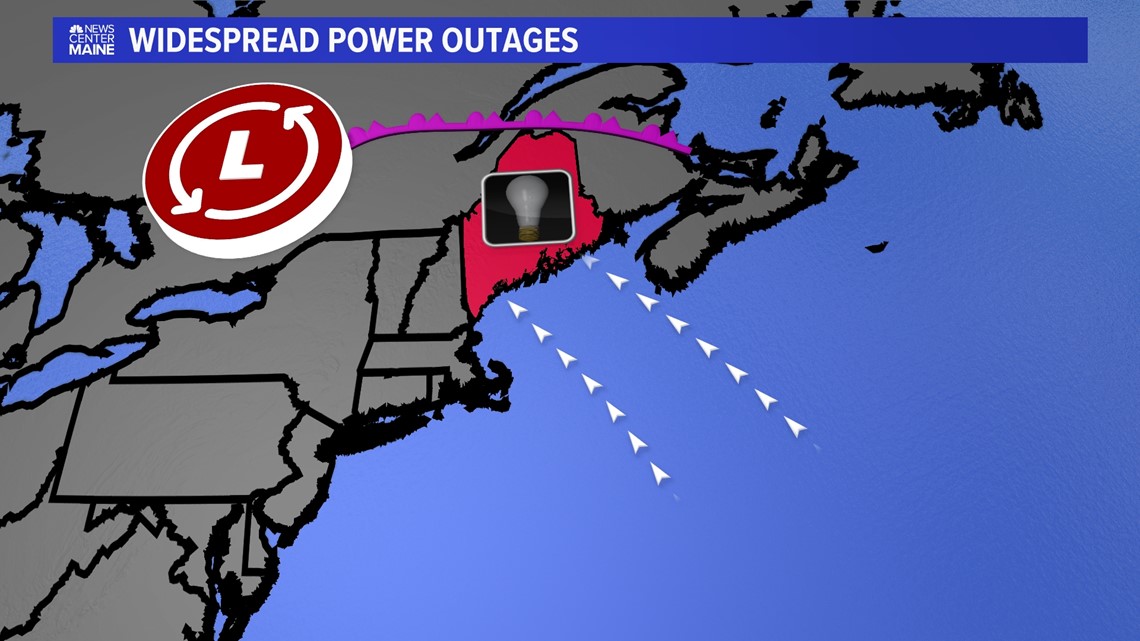
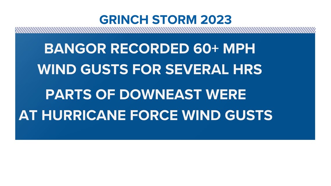
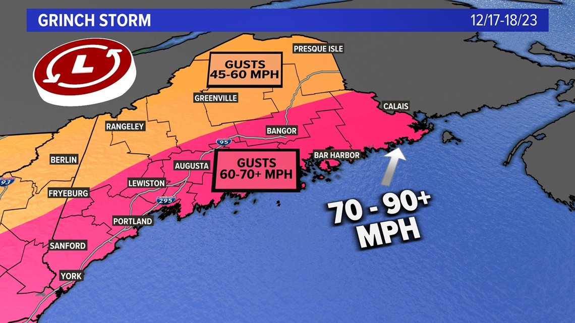
Heavy rain brought the intense wind down to the ground level and for hours on end. Bangor reached 60+ mph wind gusts for several hours and that’s quite rare.

Downeast parts reported hurricane-force winds during the peak of the storm.


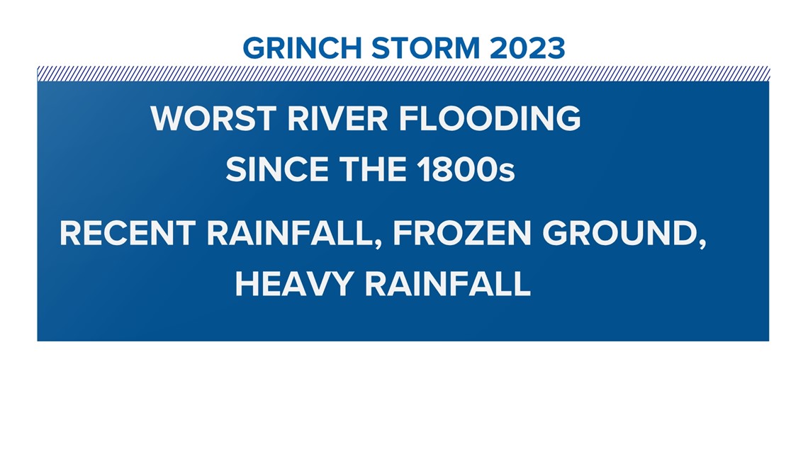
The snowmelt, heavy rain, frozen ground, and recent rainfall combined to produce the worst river flooding since the 1800s in Maine.



The wind was gusting to more than 60 and 70 mph in Bangor and Down East Maine for several hours. That’s tropical storm force well inland. No, the storm wasn’t a warm core system when it got to New England, but its origins were deep in the Gulf of Mexico.


Many have asked why the storm was so strong...It was due to the explosive bombogenesis (rapid pressure drop) that the storm got a steroid shot of energy in the upper levels. It all came together at the worst possible time for Mainers getting ready for the Holidays.


More NEWS CENTER Maine stories
Follow along for more weather blogs and pizza discussions.


