PORTLAND, Maine — On Tuesday, public works crews all around the state were busy preparing for the second of three storms to hit Maine in just one week. What was once a winter wonderland-like vision will soon no longer be in southern Maine. And, with that change, comes concerns about flooding.
Coastal communities in particular could see an excess of water, as incoming rain melts the foot or more of snow some cities and towns received on Sunday. Combine that with an angry ocean, and you have—quite literally—a perfect storm.
"It's kind of a unique situation we find ourselves in," Dean Lessard, the director of the York Department of Public Works, said Tuesday. "Sunday, we were plowing 12 to 14 inches of snow. Tonight, we’re looking at two inches of rain.”
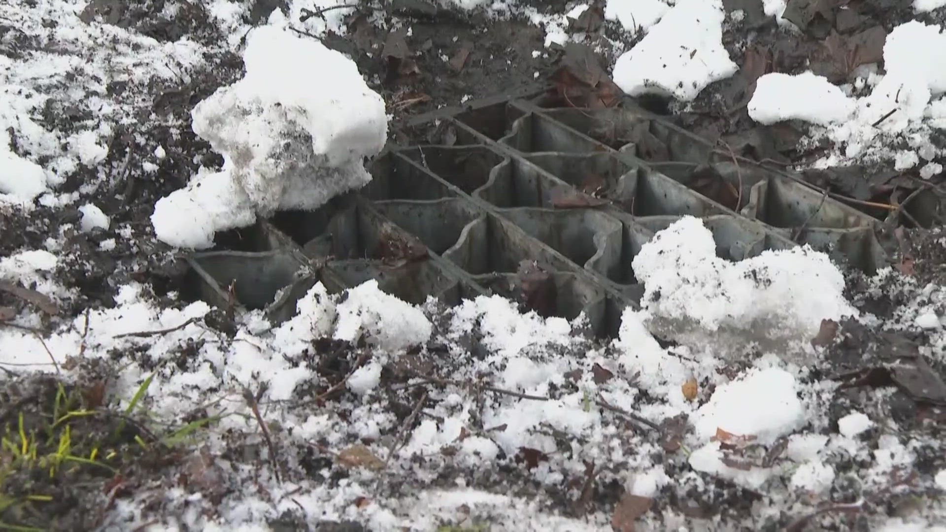
To prepare, Lessard's 18 crews were out on Tuesday, clearing recently-plowed snow out of catch basins located along the sides of roads. Lessard said there are about 800 of them around town. They're designed to take in excess water to help prevent flooding.
Lessard has been working for the department for close to two decades, but he said he hasn't seen a pattern of a ton of snow and then rain quite like this.
“I can’t remember in the 17 years I’ve been here that that scenario has played itself out before," Lessard said.
Lessard said York is particularly vulnerable during storms like this, since the ocean splashes over significantly in some places. He said the town is still recovering from weather events in 2017 and 2018 that damaged its seawall.
"Since then, we’ve been working on building a new seawall... which is still under construction," Lessard said, noting he has fears this storm could create some challenges.
Crews with the Portland Department of Public Works were out clearing catch basins on Tuesday, too. Director Mike Murray said some places on the waterfront and low-lying areas tend to succumb to flooding when there are high-rain events, combined with a high tide. He said Commercial Street, Marginal Way, and Somerset Street have seen flooding before.
"It has been a more-rare occurrence to have a major snowstorm and then have 50-degree days with two inches of rain," Murray said about the wacky weather patterns recently.
Murray said on top of all of this, his department is also facing another challenge.
"We have some staff openings that are difficult to fill at this time," Murray said.
Samuel Roy, natural hazards planner for the Maine Emergency Management Agency, said MEMA is in "enhanced monitoring mode" and will activate its emergency response center at 7 a.m. on Wednesday.
"We’re expecting some flooding in urban and small-stream settings across a large portion of the state; really, anywhere where places are quickly overwhelmed by flash-y rainfall events," Roy said.
Roy said he and his team are encouraging Mainers to keep storm drains near their homes clear. They're also asking people to be prepared for power outages with the high winds that are forecasted. Roy said the best thing Mainers can do is to charge their phones before losing electricity, making sure they have flashlights available for every person in their household, and storing enough non-perishable food and water for at least 72 hours.
Roy said the unpredictability in weather as of late has been hurting MEMA.
"It’s the level of lack of predictability that’s really hitting us the most. The frequency of extreme weather events has been pretty substantial in 2023, and it looks like it’s proceeding so far for 2024," Roy said, later adding, "No matter the size of the event, it has just been difficult to forecast and anticipate the true level of damage."
You can find MEMA resources here.

