
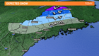
A spring storm is rolling through the Northeast. Per usual, there's some wintry precipitation with it. Looks like a significant spring snow event for the Crown of Maine.

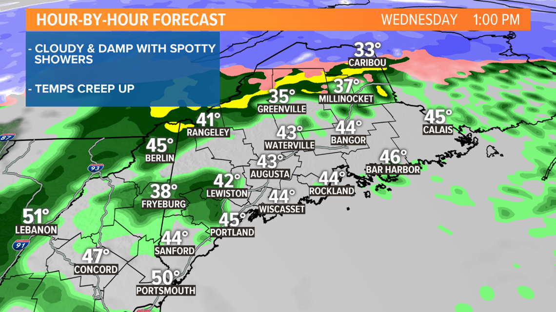
The atmosphere has been warming Wednesday morning, enough so that the threat of frozen precipitation has ended for much of the area. Here's a timeline for the day ahead.
MORNING:

MIDDAY:
EVENING:

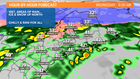
Wednesday afternoon will be very interesting. A squall line will rip through Maine between the hours of 3 and 6 p.m. A lot like summertime thunderstorms, we'll have downpours and wind. There's even a chance for rumbles of thunder, too. Most of the day will be chilly and raw, but balmy air will finally mix down to the surface in the evening. Temperatures will surge to 50 degrees or higher.


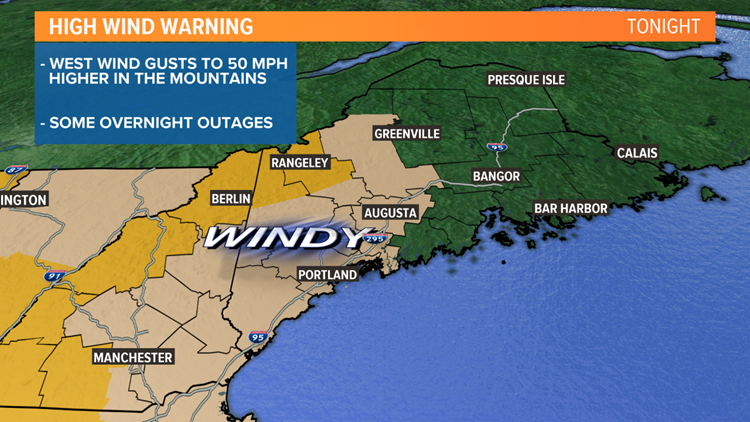
I'm concerned for the post-front wind. Downsloping and cold air advection will transfer stronger gusts aloft down to the surface. Wind gusts could reach 50 mph or even higher in the mountains. Prepare for a power outage when you go to bed, there may be some overnight.
Todd Gutner