


MAINE, USA — This storm was never a big deal, it's just one of those poorly timed things like a birthday right before Christmas or any Adam Sandler movie after 1996.
Most of us will start this thing off as rain:

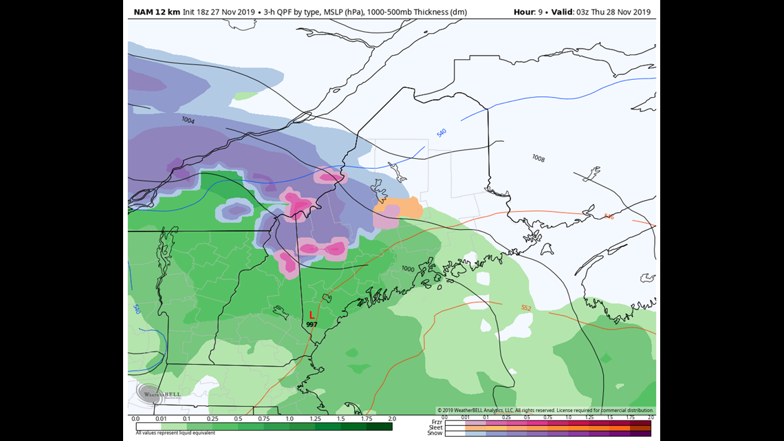
Only the mountains start as snow and some sleet (shouldn't be much freezing rain this time around as the temperature profile does not support it).
After midnight the rain/snow line will collapse toward the water like a college kid on a Carnival Cruise.

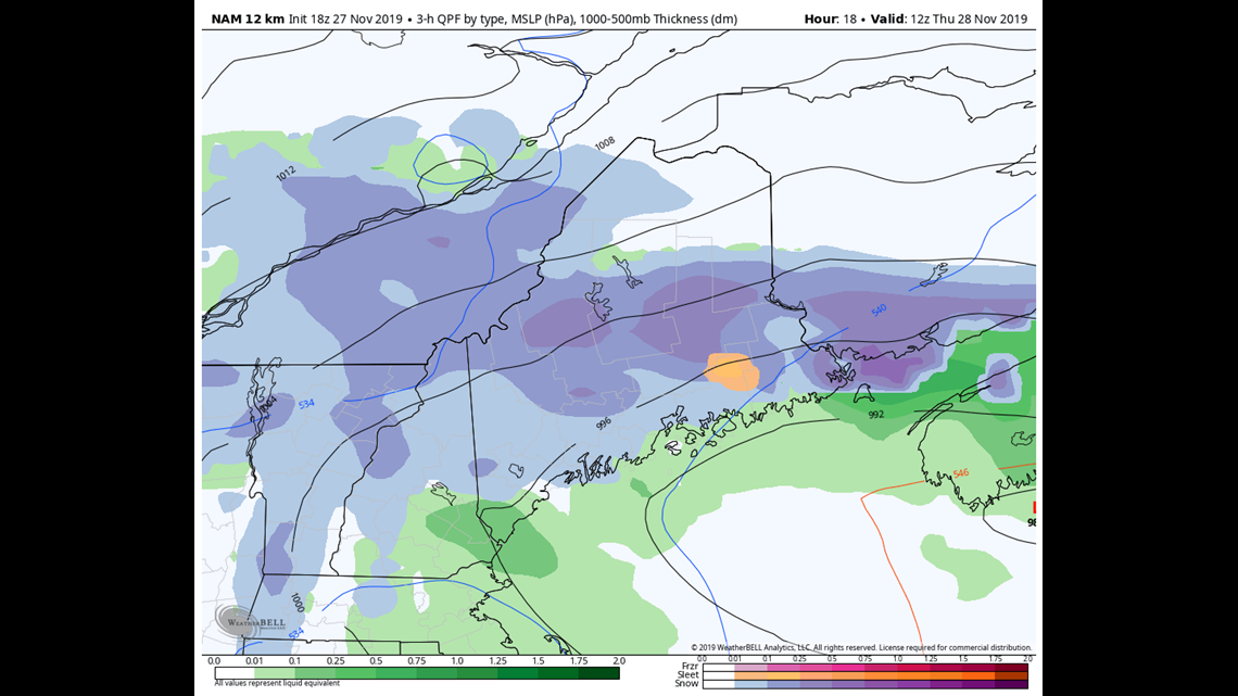
This period of time from early morning through midday will give the coast it's chance at accumulating snow in spots, but most of the action will be just north of Bangor where totals will exceed 6" by the time this thing wraps up on Thursday afternoon.
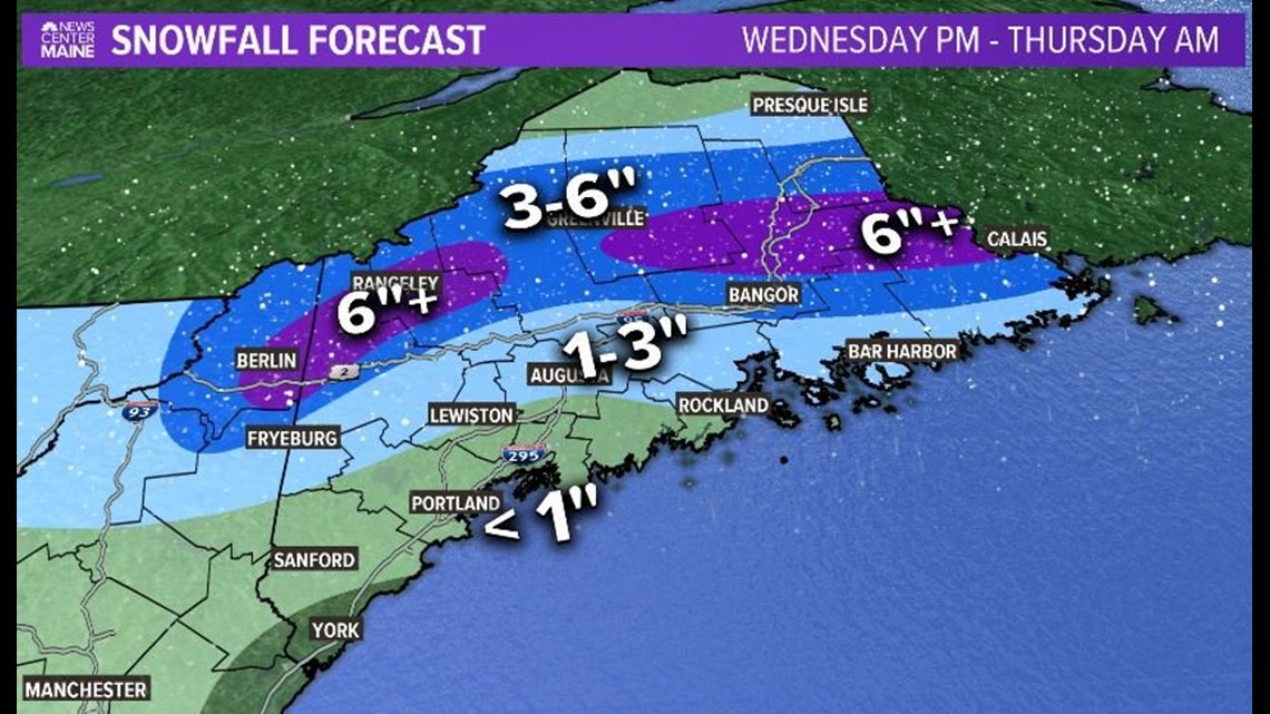
Zee map:

After the snow ends Thursday things look dry for Friday, Saturday and Sunday. However, it'll be cold. Highs in the 30s mainly.
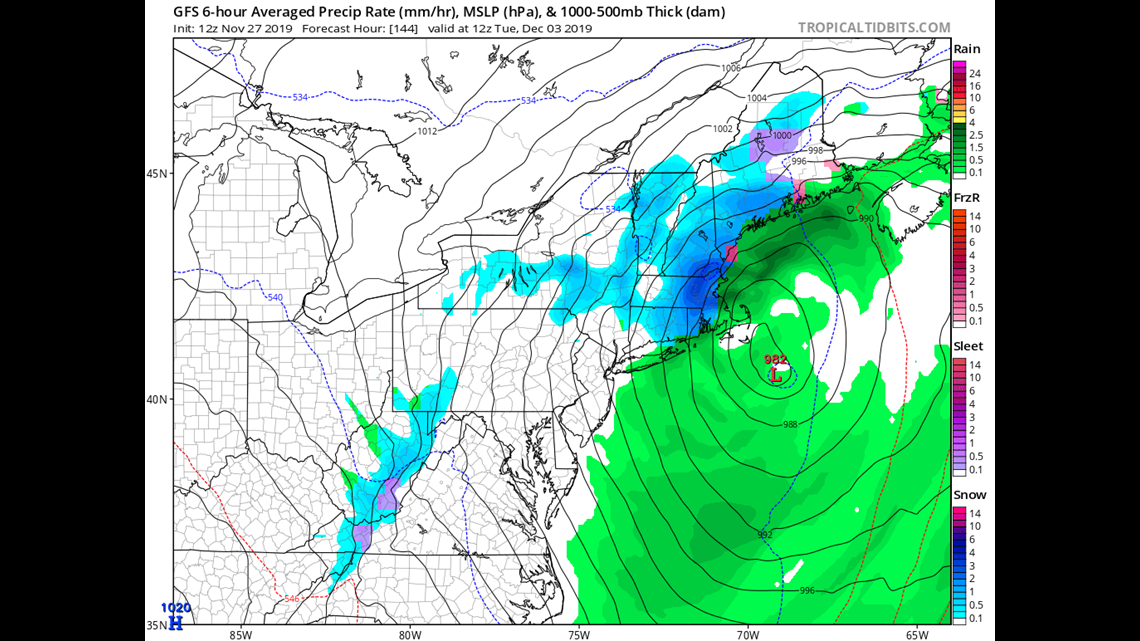
Another, possibly much sexier, storm threatens for Monday/Tuesday but we will get to that in due time.

They tell me that if I put links at the end of the weather section that people might want to read, it'll increase our clicks which increases our $$$. So here are some "Related articles":
