

MAINE, USA — Usually, the hardcore skiers/snowmobilers/Maria Carey song-pushers start grumbling when it's mild in November.
But this year, likely due to high heating costs, "Endless Fall 2022" had record support. Unfortunately, that run is about to come to a close.
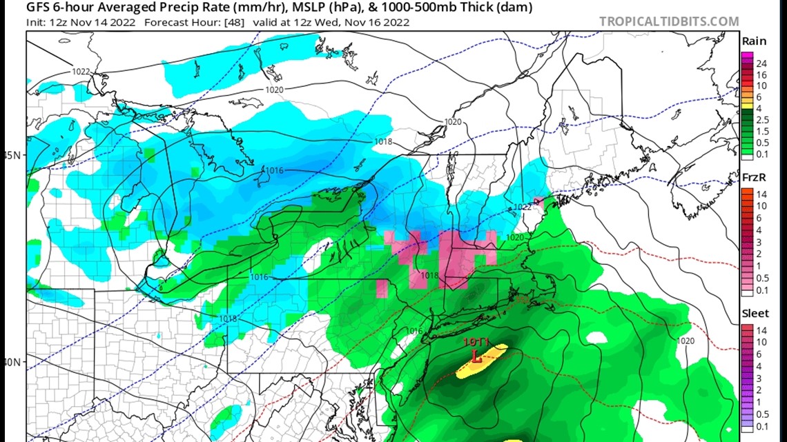
This won't be a huge storm but there's enough of a low-pressure system moving through the Gulf and enough cold air streaming in from the north to make this thing happen.
It all starts early Wednesday morning ...

Initially, it will be cold enough everywhere to start as snow. That includes the coast, although if you live in a place you can literally SEE the ocean from your house, it might be more like mixed drops and flakes even at that point.
Eventually, warmer air will work in from the ocean as the winds turn more east. That will push the rain/snow line northwest through the morning.

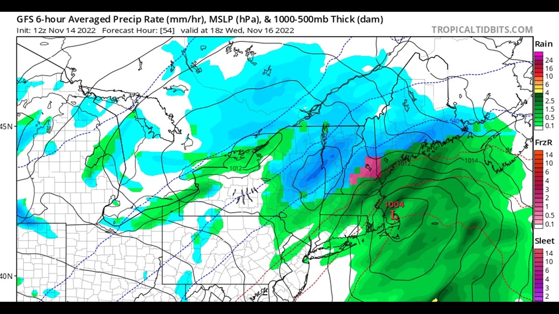
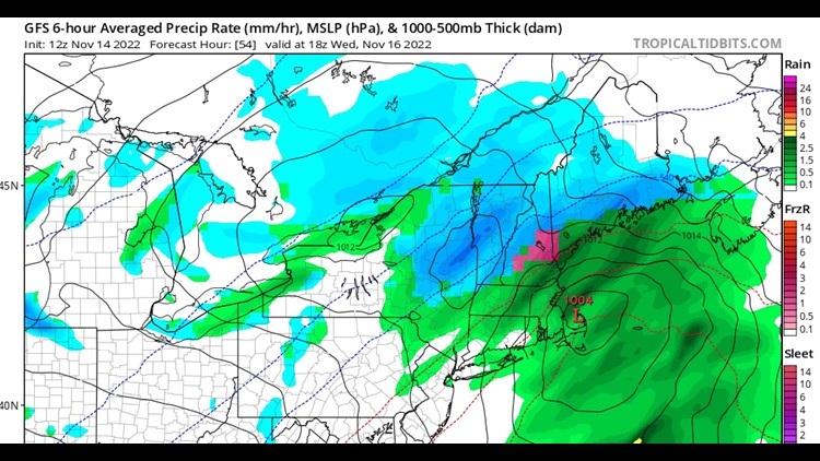
The picture of the model above is depicting 1 p.m. on Wednesday, so you can see at that point the rain line has pushed pretty far inland.
Before we get there, though, there will be some snow coming down for the morning commute and I'd say anything west of I-95 could be a little dicey.
I don't expect it will be truly BAD driving (like February bad), however, because boundary layer temperatures are right on the edge for the snow accumulating on the roadways, etc. If anything, it'll be more like slush.
The mountains and foothills will be more legit snow-wise and the roads there will likely be snow-covered by the late morning.

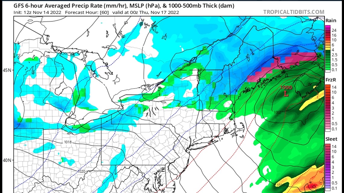
The storm starts to lose moisture at the low levels throughout the afternoon, which will lead to some periods of drizzle and freezing drizzle farther inland.
Things will wrap up by late afternoon/early evening.
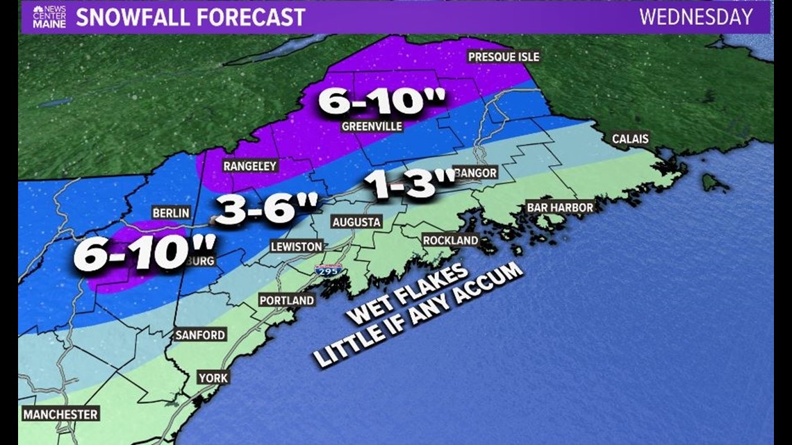
Here's the snowfall map, which is unchanged since Monday morning:

So, not a big deal, but then again it was 70 degrees out just a few days ago ...
Carson out.
