

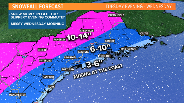
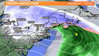
You know the drill. It's mid-February. It's Maine. We get obviously get snow this time of year. Duh. We are still a couple of days away from this event, but I decided to give you an EARLY first look at the potential snowfall map for late Tuesday into Wednesday. Ryan will be in later tonight, with Todd in tomorrow morning. They have you covered, with any potential tweaks and changes to the forecast. One thing is for certain: The Wednesday morning commute is not looking pretty.
The start of the week is quiet. Monday will see sunshine, with temps in the 20s. Tuesday will also stay quiet for much of the day. Clouds will be on the increase through the afternoon. The Tuesday evening commute may see some of this snow arriving for parts of southern Maine. Otherwise, everyone else stays cloudy.

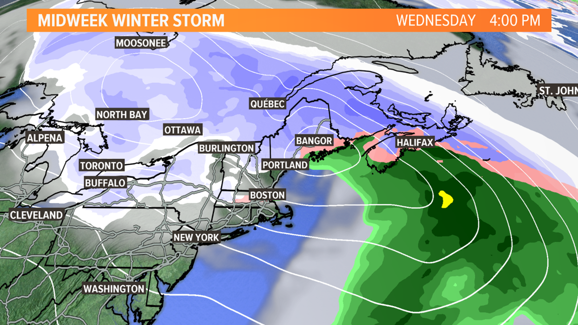
Heavy snow will spread over the area through the overnight and early Wednesday morning.

The Wednesday morning commute is not looking pretty. We will have heavy snow for much of the state. There will be some mixing near the coast, which may help to keep snow totals down, but even a wintry mix and sleet will be difficult to travel on.

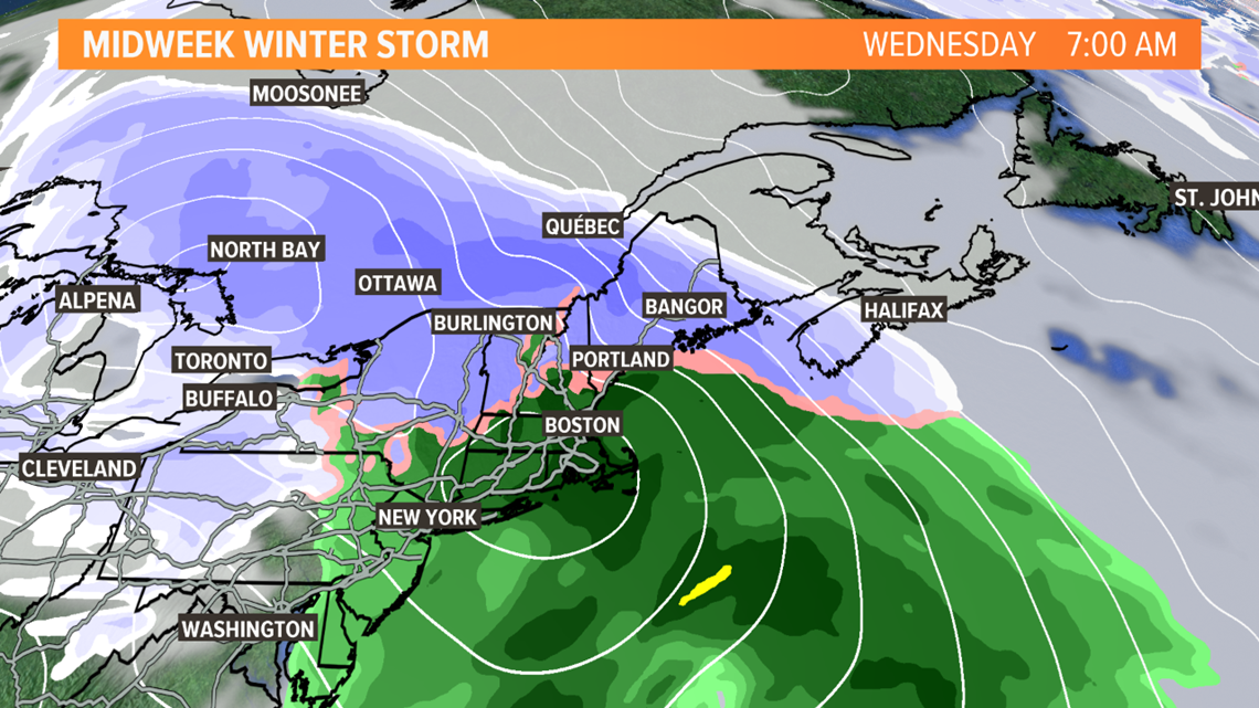
The storm will continue moving northeast through Wednesday afternoon. Parts of southern Maine will start to quiet down, while it will still be snowing for other areas, with a potential mix Downeast.
The storm will be moving well away from the area into early Thursday. There may be some leftover snow showers that will linger in spots, but it'll be much quieter for Valentine's Day.
As I mentioned before, this is an EARLY look at potential snow totals. You'll need to stay updated with Ryan, tonight, and with Todd, Keith, and Jess on Monday.
#WinterInMaine
Cory
