
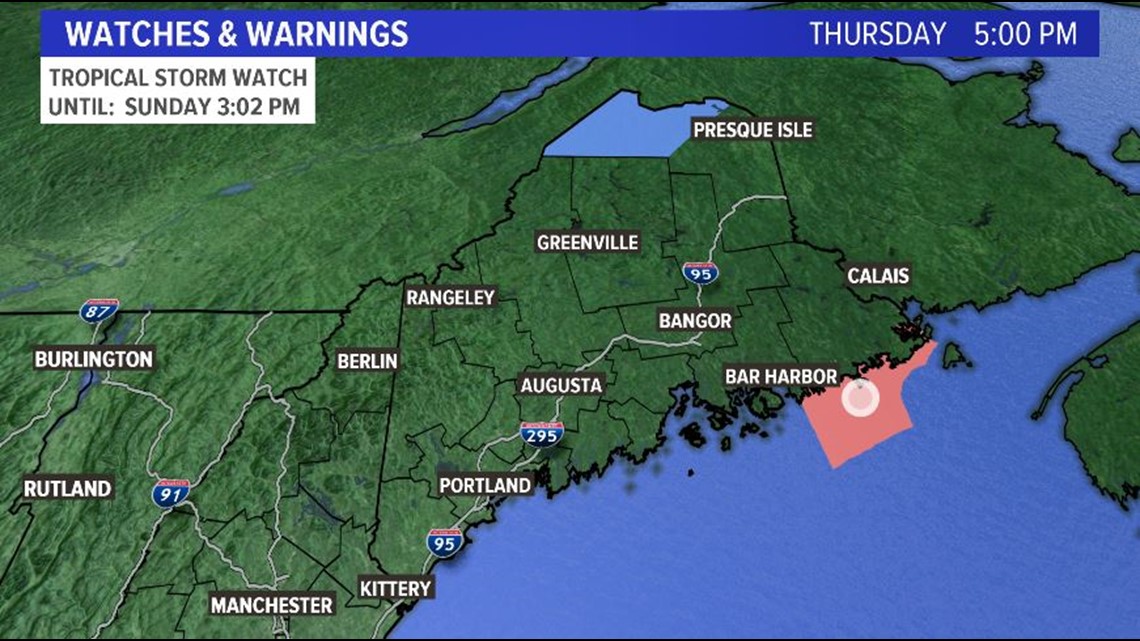
A Tropical Storm Watch was issued this afternoon for the water from Schoodic Point to Eastport ahead of Dorian's arrival, but Downeast isn't the only place that will have to deal with Dorian.

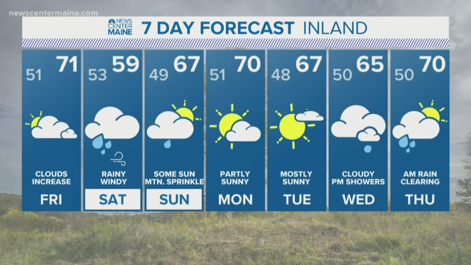
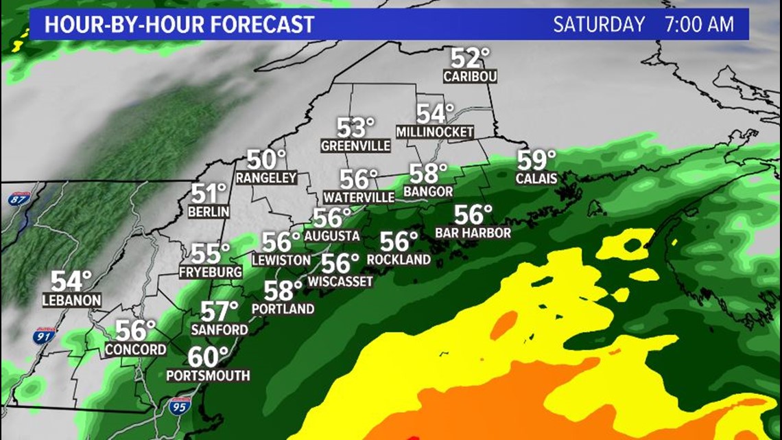
Many of us will have rain starting early Saturday morning.
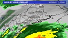

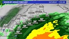
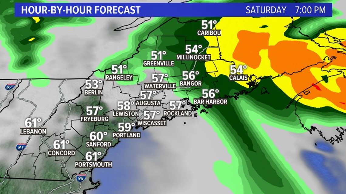
Rain starts to move out of Southern Maine by the late morning, but it'll become heavy along the Downeast Coast.

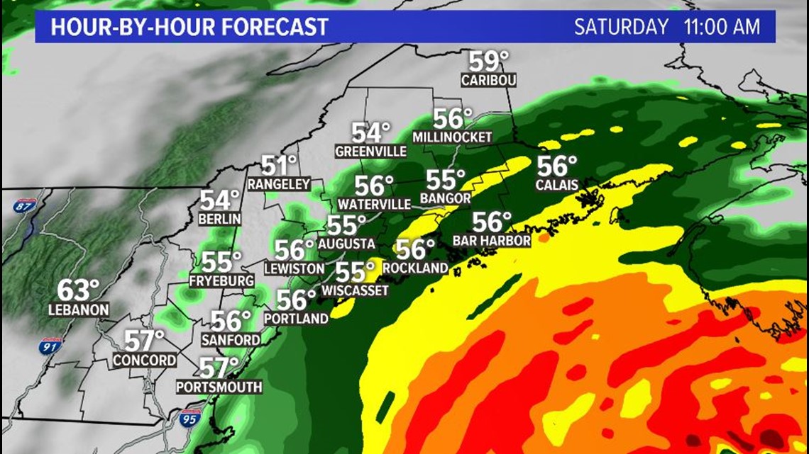
The storm clears from southwest to northeast Saturday.
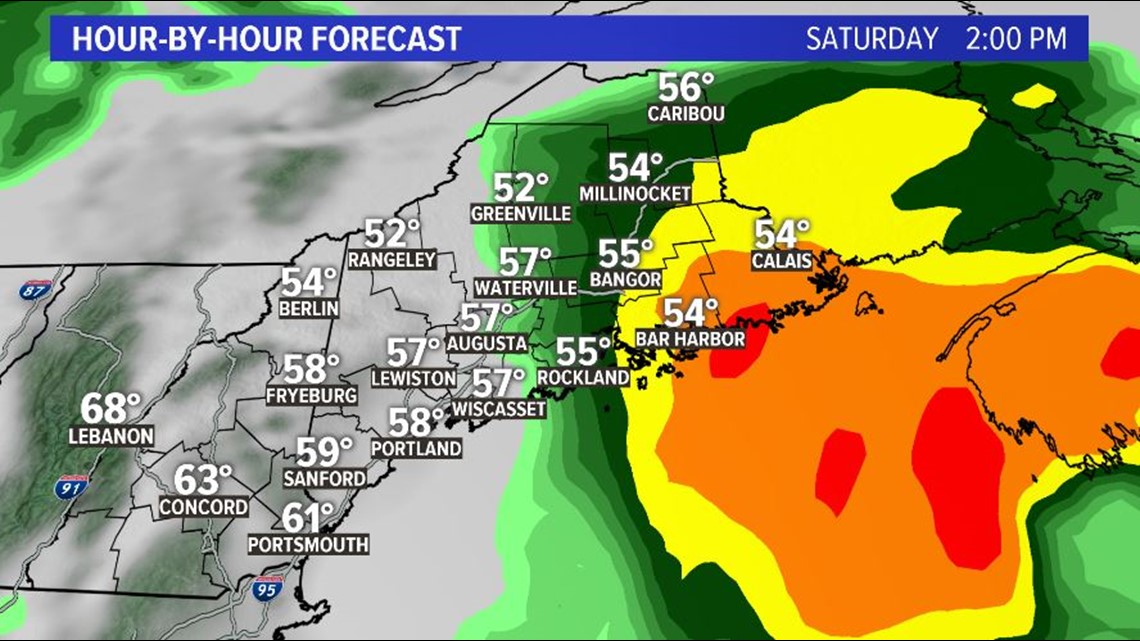
It'll hang on in Northern and Eastern Maine until Saturday night.
Not only will we be dealing with rain, but we'll also have gusty wind, especially closest to the coast. I think 55 MPH is high, but 35 - 45 MPH gusts are possible.

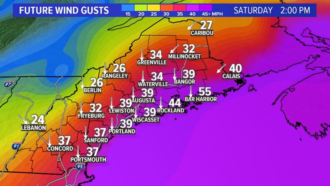
Scattered power outages are possible, especially Downeast.
Waves will be huge too. 8-10 foot swells are very possible. If you do chose to check them out, please stay back a safe distance.
This storm reminds me of Arthur back in July 2014, except it's farther offshore. I remember going up to Machias and then on to Lubec in the middle of the night to check things out. Again, this storm is farther out to sea, so we will likely not see as bad of a situation.
We'll be watching for you. Let us know if you have any questions.
Stay safe.
Meteorologist Jessica Conley