
HARPSWELL, Maine — Mary Ann Nahf stood in a bone-chilling sea breeze one February morning in her hometown of Harpswell.
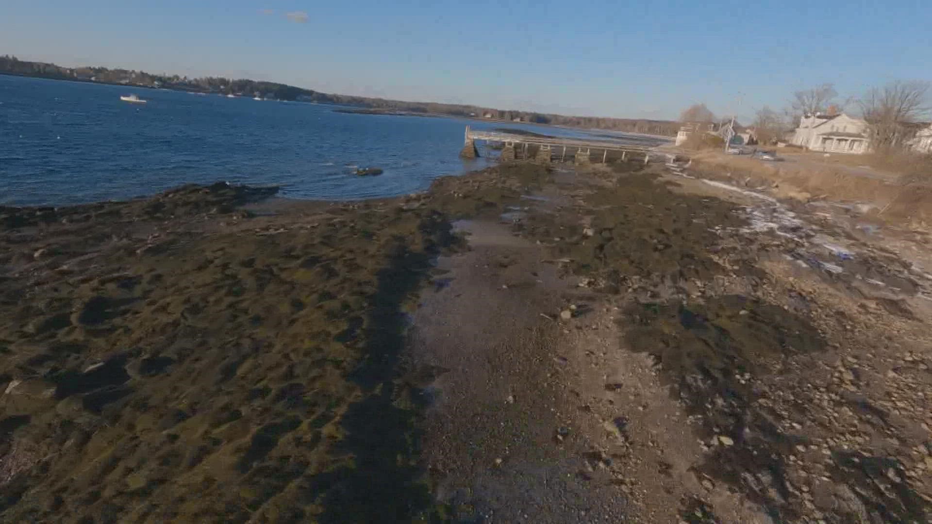
She chose a particular spot to meet, next to an unassuming slab of asphalt that descends into a cove near Cook's Restaurant. It serves as one of a dozen public landings in town.
Crumbing pavement aside, one would be hard-pressed to find a more picturesque scene on Maine's jagged coastline. There wasn't a sailboat or yacht in sight, only lobster boats, with the previous night's ice buildup still clinging to their bows. Nahf's new position in the town's government could be crucial to keeping those fishers in business as years tick onward.
Nahf, pronounced "Nayf," chairs the Harpswell Climate Task Force, a subcommittee of the Harpswell Conservation Commission formed in January 2021.
"We realized that if we were going to do anything, we really needed to start here," Nahf said.
"Our charge is to look at vulnerable areas of town infrastructure that are going to be affected over the years with sea-level rise, to give the town an idea of costs they may have to consider going forward," she continued.
The task force is at the beginning of a long road as it attempts to "climate-proof" bridges, docks, and other infrastructure. The paved landing where Nahf spoke to NEWS CENTER Maine already needed repair.
But because of a newly acquired grant, assessors will be called in to redraw the landing's slope, so boaters two decades from now will be able to launch their vessels in tides that will rise and fall differently than they do in 2022.
Harpswell Harbormaster Paul Plummer has a keen eye on his shoreline. He's also a liaison to the task force. He said boaters in his town already feel the effects of sea rise.
"What's becoming blatantly obvious is, as the seas continue to rise, our landings are becoming more and more restricted," he said. "And not just here. We have multiple landings in town that are being inundated by the king tides."
King tides are the one or two highest predicted tides in a year. Nahf provided photos she said were taken during the town's most recent king tide on Jan. 17.
Jamie Carter works in Maine for the National Oceanic and Atmospheric Administration. On the same day NEWS CENTER Maine visited Harpswell, NOAA released a report predicting Maine would likely see eight-to-12 inches of additional sea rise by 2050.
"It sounds like they're doing the right thing by starting the planning process now," Carter said of Harpswell's task force.
"That amount of rise by the year 2050 is going to mean that we are going to see recurring flooding, high-tide flooding, sunny-day flooding recurring much more frequently," he continued. "It could be a factor of 10 times greater than we're seeing already."
Chris McIntire is a third-generation lobsterman in the waters off of Harpswell's chain of islands. Nahf said 68 percent of the town's roads are private, leading to expensive private homes.
McIntire's pedigree in the town's most famous industry won't guarantee him a private dock, as coastal real estate booms, so public landings such as the one slated for assessment could be the reason the fourth generation of McIntires gets to fish in the Gulf of Maine.
"The chances of a young fisherman like me owning a piece of shorefront property with a dock and a float are going down rapidly," he said. "Public access like this can allow me to get my traps in and out of the water, get my boat in and out of the water."
For now, and for the next 30 years, Harpswell's task force needs to get the math right.